

LiDAR data for forest monitoring
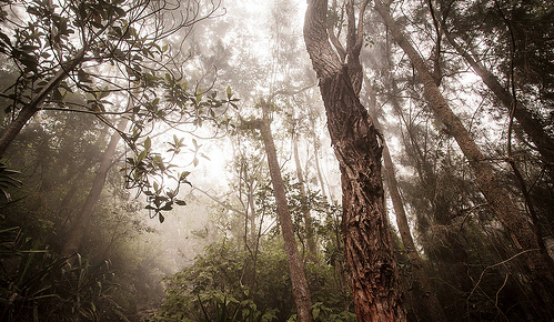
Over 300 million hectares of tropical forests have been degraded by anthropogenic activity since 1980, as reported by the FAO in the report on the state of the world’s forests. However, there are many areas where forests are recovering from anthropogenic disturbance, due to the abandonment of marginal agricultural lands as rural populations migrate into urban areas and because selectively logged forests have little commercial value for many years after timber extraction. These recovering forests can be of high conservation value and act as globally-important carbon sinks.
Identifying historical forest disturbances is difficult, especially in selectively logged areas. LiDAR is able to measure fine-scale variations in forest structure over multiple kilometers.
In a study recently published on Remote sensing a team of authors (among them, CMCC researchers G. Vaglio Laurin and R. Valentini from IAFES Division) used LiDAR data to discriminate areas of old-growth from areas recovering from selective logging for 23 years in a forest in Sierra Leone, West Africa.
The results demonstrated that LiDAR is a useful tool for distinguishing structural differences between old-growth and old-secondary forests. That makes LiDAR a powerful tool for REDD+ (Reduction of Emissions from Deforestation and Forest Degradation) programs implementation and conservation planning.
The abstract of the paper:
Identifying historical forest disturbances is difficult, especially in selectively logged areas. LiDAR is able to measure fine-scale variations in forest structure over multiple kilometers. We use LiDAR data from ca. 16 km2 of forest in Sierra Leone, West Africa, to discriminate areas of old-growth from areas recovering from selective logging for 23 years. We examined canopy height variation and gap size distributions. We found that though recovering blocks of forest differed little in height from old-growth forest (up to 3 m), they had a greater area of canopy gaps (average 10.2% gap fraction in logged areas, compared to 5.6% in unlogged area); and greater numbers of gaps penetrating to the forest floor (162 gaps at 2 m height in logged blocks, and 101 in an unlogged block). Comparison of LiDAR measurements with field data demonstrated that LiDAR delivered accurate results. We found that gap size distributions deviated from power-laws reported previously, with substantially fewer large gaps than predicted by power-law functions. Our analyses demonstrate that LiDAR is a useful tool for distinguishing structural differences between old-growth and old-secondary forests. That makes LiDAR a powerful tool for REDD+ (Reduction of Emissions from Deforestation and Forest Degradation) programs implementation and conservation planning.