

Safer seas with your smartphone
Want to know the possible trajectories of persons or objects lost at sea?
Want to know the safest and most efficient nautical routes in the Mediterranean Sea?
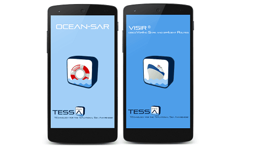
OCEAN-SAR and VISIR® are the new applications for Android of the TESSA project available for free on Google play store.
OCEAN-SAR is a service provided to support maritime authorities and operational centres during search-and-rescue operations. Using OCEAN-SAR to simulate the possible trajectories of persons or objects lost at sea allows a better prioritisation of the search areas and increases the chance of a successful rescue.
VISIR® provides optimized nautical routes in the Mediterranean Sea. The optimization regards total navigation time, keeping into account safety of navigation.
The computation of the routes depends on model forecast of sea-state. The user can specify departure date and time, departure and arrival location, vessel type, and other parameters. The routes are displayed on top of wave forecasts, superimposed on a Google-map.
OCEAN-SAR and VISIR® are easy to use and are completely free.
Download OCEAN-SAR for Android from Google play:
![]()
Download VISIR® for Android from Google play:
![]()
OCEAN-SAR and VISIR® are products of the TESSA project (TEchnologies for the Situational Sea Awareness), executed by Links S.p.A., Centro Euro-Mediterraneo sui Cambiamenti Climatici (CMCC) and CNR-Istituto per l’Ambiente Marino Costiero (CNR-IAMC) which have carried out the research activities and are responsible for the distribution of all the related services