

Come affrontare gli impatti dei cambiamenti climatici: il caso studio del Golfo di Gabes
Una strategia efficiente ed economicamente conveniente per la gestione delle aree costiere può essere rafforzata con la piena comprensione dei rischi associati ai driver di antropogenici e naturali di cambiamento.
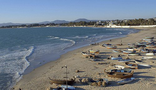
In un articolo pubblicato di recente sulla rivista Sustainability Science, un gruppo di autori (tra questi, i ricercatori CMCC Torresan S., Critto A., Marcomini A.) ha messo a punto una metodologia di Regional Risk Assessment (RRA) per la valutazione dei potenziali impatti dei cambiamenti climatici sulle coste tunisine del Golfo di Gabes, prendendo in considerazione gli impatti dovuti a innalzamento del livello del mare e alluvioni sui sistemi umani e naturali, come spiagge, aree umide, ecosistemi terrestri, aree urbane e agricole.
L’abstract dell’articolo:
Sound, cost efficient management strategies in developed coastal zones can be reinforced by a thorough understanding of risks associated with the combination of anthropogenic and natural drivers of change. A Regional Risk Assessment (RRA) methodology was developed for the assessment of the potential impacts of climate change in the Tunisian coastal zone of the Gulf of Gabes. It is based on the use of Multi-Criteria Decision Analysis techniques and Geographic Information Systems and is designed to support the development and prioritization of adaptation strategies. The RRA focuses on sea-level rise and storm surge flooding impacts for human and natural systems, i.e., beaches, wetlands, urban areas, agricultural areas, and terrestrial ecosystems. Results suggest that for both of the studied climate change impacts, i.e., sea-level rise and storm surge flooding, the area potentially exposed is limited to a narrow, low elevation region adjacent to the shoreline. However, the exposed areas showed a high relative risk score, obtained by the integration of exposure and susceptibility factors. Beaches have the lowest relative risk scores, while wetlands and terrestrial ecosystems have the higher relative risk scores. The final outputs of the analysis (i.e., exposure, susceptibility, and risk maps) can support end-users in the establishment of relative priorities for intervention and in the identification of suitable areas for human settlements, infrastructure, and economic activities, thus providing a basis for coastal zoning and land-use planning.
Leggi la versione integrale dell’articolo:
Rizzi J., Gallina V., Torresan S., Critto A., Marcomini A.
A Regional Risk Assessment addressing the impacts of climate change in the coastal area of the Gulf of Gabes
2015, Sustainability Science, DOI: 10.1007/s11625-015-0344-2.