
Adapting: starting from where? The case study of Venice for a multi-risk adaptation
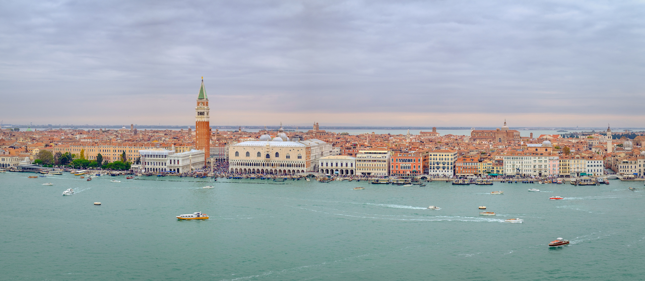
Coastal urban centers are the most vulnerable areas and should be given the highest priority in climate change adaptation actions in the Metropolitan City of Venice. A research by CMCC@Ca’Foscari, the strategic partnership between the CMCC Foundation and Ca’ Foscari University of Venice, suggests multi-risk mapping strategies to optimize adaptation priorities in the case study area.
Identifying the priorities for climate change adaptation requires unravelling the complexity of risks affecting various domains and the uncertainty of future threats. Despite multi-hazard risk management being internationally recognized as fundamental, there are still few examples of applications for climate change multi-risk assessment at the current state of knowledge. A study by CMCC@Ca’Foscari, the strategic partnership between CMCC Foundation and Ca’ Foscari University of Venice, applied the approach of a systemic multi-risk assessment and adaptation to the case study of the Metropolitan City of Venice, which is representative of the occurrence of criticalities both from an environmental and a socio-economic point of view.
In their study, researchers introduced a multi-risk analysis of climate hazard, exposure, vulnerability, and risk severity, specifically designed to hotspot geographic locations and prioritize system receptors that are affected by climate-related extremes in the area.
Considering two future climate scenarios (RCP4.5 – an intermediate scenario that assumes imposition of effective emissions mitigation policies – and RCP8.5 – a scenario of comparatively high greenhouse gas emissions), they projected a selection of climate threats (i.e., storm surges, pluvial flood, heat waves, and drought) for a 30-year period (2021–2050), using the CMCC Regional Climate Model COSMO-CLM and the JRC dataset LISCoAsT.
Results show an increase in the risk largely due to drought, pluvial flood and storm surge, depending on the areas of interest, with the overall situation worsening under the RCP8.5 scenario. Moreover, researchers found that vulnerable receptors at higher risk are concentrated in the urban centers (e.g., housing, railways, roads) and along the coast (e.g., beaches, wetlands, primary sector), as shown in the multirisk maps obtained through the study.
Such multi-risk maps can help stakeholders and public administration to understand and communicate the risks related to potential environmental and socio-economic losses due to the changing climate, and recommend priorities for future investigation and risk management.
For more information:
Sambo, Beatrice & Bonato, Marta & Sperotto, Anna & Torresan, Silvia & Furlan, Elisa & Lambert, James & Critto, Andrea. (2023). Framework for multirisk climate scenarios across system receptors with application to the Metropolitan City of Venice. Risk Analysis. 10.1111/risa.14097.