The Institute for Earth System Predictions (IESP) is committed to improving the CMCC climate modeling capacities and fostering the transfer of scientific insights into enhanced predictive skills and planning tools. We are committed to advance the understanding of the climate system and of climate changes across multiple spatio-temporal scales in support of local and national response to emerging climate risks.
IESP aims to address societally relevant key questions related to climate science and advance seamless predictions of the earth system from the global to the local scales and from short term to multi decadal time scales in support of scientifically based decision making.
Our Expertise
IESP capacities build on a diversity of dynamical, statistical and data-driven modeling approaches and on R&D activities on Computation Science which include: i) Multi-scale modeling and predictive competencies, from sub-seasonal to multi-decadal ; ii) Global, regional and coastal ocean operational forecasting services; iii) Data assimilation in different components of the climate system (ocean, sea ice, atmosphere, and land); iv) Innovative marine coastal observing, modelling systems and applications; v) Marine and land bio-geochemical modeling; vi) Advanced computing techniques and innovative platform for data analysis and management for an optimal exploitation of numerical models on HPC and cloud architectures; vii) Artificial Intelligence and Machine Learning methods.
In pursuing its scientific vision and ambitious goals, the Institute and its Research Divisions align with the CMCC mission, ensuring that approaches, data, and software adhere to the overall Foundation’s strategy in the context of open science principles.
IESP People

IESP Topics
The Institute’s activities focus on developing advanced models that capture the complex dynamics of climatic changes from a global to a regional scale, improving predictability and representation of extreme weather events. Through innovation and cost-effective technologies, IESP produces high-quality and timely analysis for emergency preparedness, mitigation and adaptation strategies.
Climate Intelligence System
The Interplay Between Global Change, Regional Climate Variability, and Shifts in Climate and Weather Extremes
The need to reduce uncertainties in the future evolution of the Earth system relies mainly on more accurate numerical models able to represent the interplay between global change, regional climate variability, and shifts in climate state and extremes. The focus is on the development and implementation of state-of-the-art models capable of accurately simulating and forecasting Earth System variability across various spatial and temporal scales, with a focus on representing the key interactions between the Earth system’s components which drive variability and influence global and regional climate patterns. The modeling framework needs to address climate and environmental research and, at the same time, to satisfy the needs of CMCC’s scientific and operational activities.
Data assimilation for the Earth system
The mission is to develop the most advanced and innovative data assimilation systems, that leverage cutting-edge techniques and methodologies allowing the production of high–quality earth system analyses, enabling a deeper understanding of the state of the Earth System and providing the best initial conditions for skillful and reliable forecasts at different time scales (from short term to seasonal and decadal predictions). The goal of this research is to integrate the data assimilation activities of the various components of the Earth System, leading to a coupled data assimilation system across the atmosphere, ocean, land, and ice. The activities include developing digital tools and workflows for the collection, management, and quality control of the observation data, both from satellite platforms and conventional sources, which will then be assimilated to deepen our understanding of the impacts of observational data ingestion on global and basin dynamics and to produce long reanalyses which can be used to study climate variability and trends and to feed data-driven models. This comprehensive approach ensures a holistic understanding of the interconnected processes shaping the planet.
Integration of Artificial Intelligence and Machine Learning in the Earth System
Leveraging AI and ML methodologies to enhance ESM by improving the parameterization of unresolved processes, developing purely data-driven and hybrid models that combine physics-based and data-driven approaches, and creating computationally efficient emulators for long-term and high-resolution simulations. These innovations aim to accelerate model development, including downscaling approaches, advanced postprocessing tools to enhance the emergence of signal from noise, allow larger ensemble sizes, and improve predictive skill.
Advance Predictive Strenghts
Climate Predictability and Extreme Events
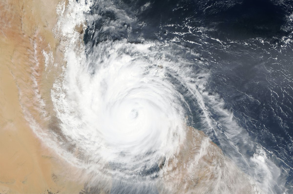
Extreme events are becoming increasingly common across several regions including the Mediterranean Sea, with scientists warning that climate change is making these events both more intense and more frequent. We aim at enhancing the ability of CMCC’s ESMs, from global to local scales, to predict climate states, with a focus on accurately forecasting extreme events such as heatwaves, storm surges, tropical cyclones and droughts. Reliable predictions are essential for understanding the societal and ecological impacts of extremes and for informing risk mitigation strategies towards actionable climate information, not only at the short, medium and seasonal but also at the decadal time horizon.
Early Warning Systems for Timely Emergency Response
Natural hazards, such as extreme weather and ocean events, are exacerbated by climate change. As a result, emergency responses are becoming more protracted, expensive, frequent, and stretching limited available resources. This is especially apparent in rapidly warming regions. There is a need to address these challenges by providing novel solutions to ensure timely, precise, and actionable impact and finance forecasting, and early warning systems (EWS) that support the rapid deployment of first responders to vulnerable areas. One of the challenges is to consolidate the short term capabilities and to determine to which extent seasonal anomalies of certain large-scale fields can be used as Early Warning conditions potentially leading to extreme events with the final aim to answer the need for planning of local authorities (e.g. landscape management, coastal adaptation planning, urban maintenance).
Critical Processes in Earth System Dynamics
The understanding of critical processes within the Earth System, such as atmosphere, waves, ice sheet-ocean interactions, hydrology, including ground waters, vegetation-climate feedback, and biogeochemical cycles, is essential to capture the complex, non-linear relationships that regulate energy, water, and geochemical cycles. The aim is to advance our knowledge of the mechanisms underpinning climate variability, climate predictability and the relationship between climate and extreme events useful to the improvement of the CMCC short term, seasonal and decadal operational forecasts. New sources of predictability and the relative importance of model components and settings are investigated for the different time horizons and spatial scales.
Multiscale Modelling Capabilities
We focus on advancing scientific knowledge of the multi-physics, multi-scale, and cross-scale processes that regulate the water cycle from the global to the regional and the coastal scales through the integration of numerical models encompassing atmosphere, waves, hydrology, marine hydrodynamics, biogeochemistry, flooding, coastal erosion and sediment transport. The modelling strategy promotes the development and combined use of structured grid (finite difference) and unstructured grid (finite element) models as well as physics-based and machine learning-based approaches. To enhance knowledge of climate change and variability at scales relevant for policy makers and local authorities we use climate downscaling using multiple-nesting and/or two-way coupling techniques, along with dynamic and statistical approaches.
Biogeochemical Cycles
Representation of the Carbon Cycle to Explore Mitigation Options
Over the next few decades an aggressive decarbonization of the economy will have to be accompanied by substantial removals in the atmosphere, over land and ocean, both through ecosystem processes and, potentially, through engineered solutions such as direct air capture. Improving the representation of carbon fluxes across the atmosphere, land, and oceans is fundamental for assessing the Global Carbon Budget and exploring mitigation options. A more detailed understanding of these processes is critical for assessing the feasibility, effectiveness and scalability of Carbon Dioxide Removal (CDR) techniques, as part of climate change mitigation strategies. The objective is to produce a series of modelling frameworks in support of integrated carbon management in a world that overshoots its goals. The CMIP generic scenarios are complemented by specific scenarios of the sustainability of solution pathways addressing the emerging challenges, such as acidification and carbon sequestration with explicit implementation of CDR approaches into the ESM and the assessment of the intervention pathways.
Digital Twins for Climate Resilience
Digital Twins of the Coastal Ocean
The physical, ecological, and infrastructural frontier between land and ocean is a dynamic system vulnerable to climate change and whose management is central to the future in a changing world. The coastal regions are sites of millions of people and economic sectors which govern a substantial part of the global economy. It is now fundamental to assess climate adaptation solutions and explore what-if scenarios to support disaster risk reduction, address coastal multi-hazards (e.g., storm surge, flooding, coastal erosion, sea-level rise), sustainable blue growth, including aquaculture and Marine Protected Areas (MPA), renewable energy and conservation and restoration efforts aimed at preserving ecosystem services and coastal society adaptation.
Limited-area relocatable multi-physics framework (circulation–wave–sediment–vegetation–flooding) is designed to enhance the realism of coastal processes, integrated into Digital Twins of the Coastal Ocean, able to produce what-if scenarios and to provide support for solutions such as Nature Based Solutions. Advancements in cloud-based computing and data analytics infrastructure support efficient data handling and power our Digital Twin of the Ocean (DTO) for complex simulations and forecasting.
Other “Maritime Solutions” tackle societal challenges linked to human activities at sea, focusing on environmental issues from seaborne transport, fossil fuel use, oil spill and plastics, contributing to international efforts for decarbonization and combating sea pollution. These solutions integrate marine, meteorological, in-situ, and remote-sensed data to develop numerical tools that optimize resource use and support decision-making.
Development and Deployment of Relocatable, Autonomous, Low-Cost and Cost-Effective Technologies
This focus is on the development and implementation of distributed relocatable advanced observing systems, including those based on low-cost sensors and Citizen Science, to study the global coastal ocean and to support scientific experiments, data assimilation and model validation, multi-hazard early warning systems, conservation and restoration efforts aimed at preserving ecosystem services, and coastal society adaptation. The development and deployment of relocatable, autonomous and low-cost technologies facilitate numerical model validation and the implementation of innovative coastal observing systems.
IESP Publications
Internal tides in the Mediterranean Sea
McDonagh B., von Storch J.S., Clementi E., Pinardi N.
2025, Progress in Oceanography, doi: 10.1016/j.pocean.2025.103647
The First Plague Pandemic in the Byzantine Empire – Toward a New Dynamic Consensus
Stathakopoulos D., Newfield T.P., Xoplaki E., et al.
2025, Human Ecology, doi: 10.1007/s10745-025-00612-x
Accurate Mediterranean Sea forecasting via graph-based deep learning
Holmberg D., Clementi E., Epicoco I., Roos T.
2025, Scientific Reports, doi: 10.1038/s41598-025-31177-w
IESP Booklet
Explore the work of the Institute for Earth System Predictions as it addresses critical questions about future climate scenarios, harnessing seamless predictions and technological advances.
Find out how IESP deepens our understanding of climate dynamics across time and space by developing innovative tools for real-world solutions.


